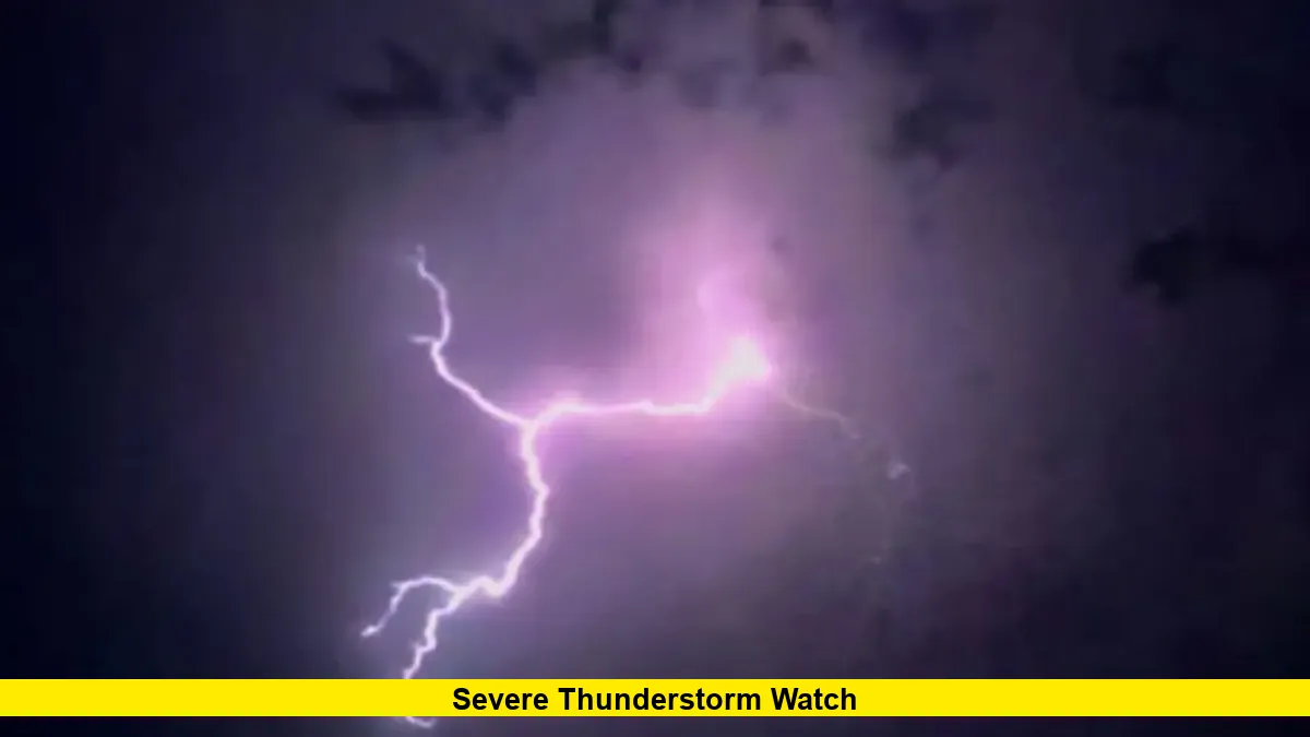
A severe thunderstorm watch remains active until 4 a.m. Saturday across Minnesota, encompassing the Twin Cities metro area as dangerous storms push through the region with potentially devastating 80 mph winds. The National Weather Service has issued a severe thunderstorm watch until 4 a.m. Saturday, and it includes most of the state — including the Twin Cities, St. Cloud, Duluth and Mankato.
Severe storms are pushing across Minnesota early Saturday morning, creating hazardous conditions throughout the metropolitan area. Residents across the seven-county region face immediate threats from these powerful weather systems moving through overnight hours.
Current Storm Movement and Conditions
Weather tracking shows active storm cells advancing across Minnesota during the early morning hours of Saturday, August 9th. The massive weather system threatens widespread damage across the state, with the Twin Cities directly in the path of the most intense activity.
Meteorologists emphasize the exceptional nature of this overnight severe thunderstorm watch, which covers an unusually large portion of Minnesota. The watch area extends beyond typical regional boundaries, indicating the widespread scope of this weather threat.
Current atmospheric conditions support the development of extremely dangerous wind speeds, with forecasters warning of potential gusts reaching 80 mph. These wind speeds can cause:
- Extensive power outages across metro areas
- Structural damage to buildings and homes
- Downed trees blocking major roadways
- Flying debris creating additional hazards
Regional Impact Assessment
The Twin Cities metro area faces significant threats from this overnight severe weather event, with millions of residents under the active watch conditions. Emergency management officials across Minnesota have activated response protocols to monitor storm progression and coordinate emergency services.
This severe thunderstorm watch represents one of the most extensive weather warnings issued for Minnesota this season. The widespread coverage area demonstrates the magnitude of atmospheric instability affecting the Upper Midwest region.
Power companies throughout Minnesota have positioned emergency crews strategically to respond quickly to anticipated outages. Previous severe weather events with similar wind speeds have left hundreds of thousands of customers without electricity for extended periods.
Local authorities strongly advise residents to avoid all unnecessary travel during overnight hours as storms continue moving through the region. The combination of darkness and severe weather creates extremely hazardous driving conditions.
Safety Protocols for Overnight Storms
Weather experts stress the unique challenges posed by overnight severe weather, when visibility is already limited and many residents are sleeping. The severe thunderstorm watch requires heightened awareness and preparation throughout the night hours.
Emergency officials recommend that all residents ensure their weather alert systems are activated and capable of waking them during the night. Battery-powered weather radios provide crucial backup communication if power outages occur during storm passage.
Residents should identify the strongest, lowest areas of their homes as shelter locations before the storms intensify. Interior rooms on the lowest floors, away from windows, provide the best protection from high winds and flying debris.
Mobile home residents face particularly serious risks during this severe thunderstorm watch and should implement evacuation plans immediately. These structures cannot withstand the forecasted wind speeds and offer inadequate protection.
Wind Threat Analysis
The 80 mph wind threat represents an exceptionally dangerous aspect of this severe thunderstorm watch, placing it in the category of hurricane-force winds. Such wind speeds can transform everyday objects into dangerous projectiles and cause catastrophic structural damage.
Meteorologists note that these extreme wind speeds result from intense atmospheric dynamics across the Upper Midwest. The collision of dramatically different air masses creates the energy necessary to generate these destructive wind patterns.
Tree damage becomes virtually inevitable at these wind speeds, particularly affecting areas with mature canopy coverage common throughout Twin Cities neighborhoods. Residents should expect widespread tree-related damage and extended cleanup efforts.
The overnight timing of peak winds compounds the danger, as many residents remain unaware of rapidly changing conditions. Emergency services may experience delayed response times due to blocked roadways and widespread damage.
Extended Weather Outlook
Following the passage of this severe thunderstorm watch, additional weather instability may persist across Minnesota throughout the weekend. Meteorologists continue monitoring atmospheric conditions that could support further severe weather development.
Cleanup and recovery efforts from overnight storm damage will likely extend well beyond the storm’s passage. Utility companies anticipate significant challenges in restoring power services, particularly in heavily wooded areas prone to tree damage.
Residents should remain weather-aware and prepared for changing conditions even after the current severe thunderstorm watch expires. Additional watches or warnings may be issued as weather patterns continue evolving across the region.
Weather monitoring services will provide updated information as conditions develop and storm systems progress through Minnesota. Stay connected to reliable weather sources for the latest forecasts and safety information throughout this active weather period.